APPLICATION AREAS
The MALÅ GeoDrone antennas are an excellent solution for various types of airborne GPR surveys. Depending on the antenna option used, they are primarily suitable for:
FEATURES
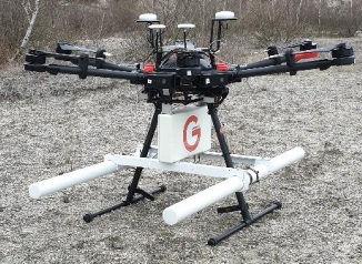
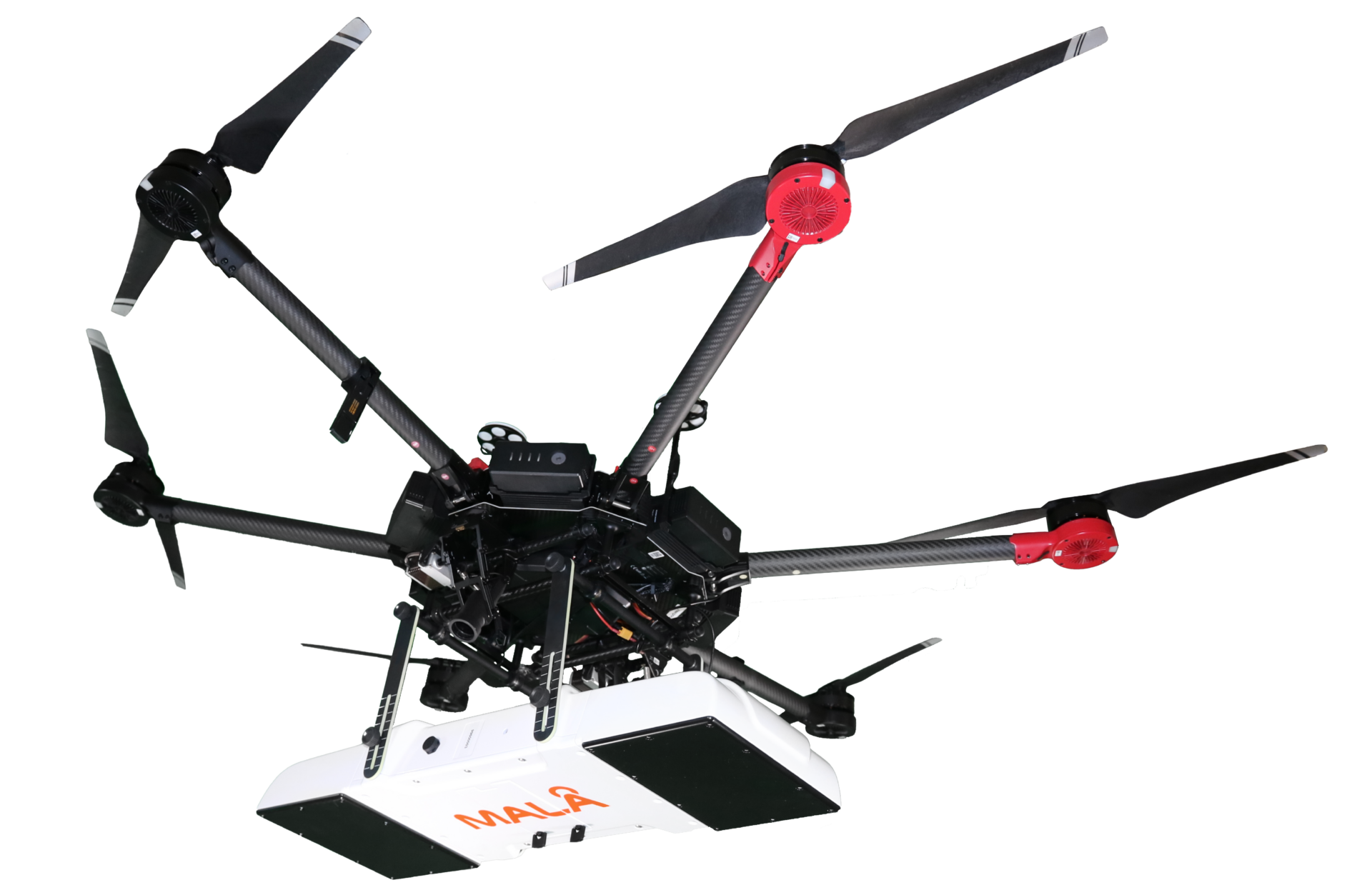
The MALÅ GeoDrone, is available with two different antenna options, the GeoDrone 600 and the GeoDrone 80. Both options offer the following features:
- Utilizes our unique MALÅ HDR GPR technology
- Supports all standard drones with adequate lift power (>2.7 kg for GD600 and >3.5 kg for GD80)
- Optimized for specific critical application areas
- Wireless real-time monitoring with MALÅ Controller App (GD600 and GD80)
- Suitable for automated drone surveying
MALÅ GeoDrone 80
- Larger (>1 m) buried targets at less than 10 m depth in ground
- Layer detection below 2 meters depth
- Bathymetry profiling (e.g. river or lake bottom profiling)
- Depth to bedrock
- Detection of larger sinkholes
- Detection of larger cavities (e.g. cavities in limestone areas)
- Shallow sedimentary structures
- Deeper ice and snow measurements

MALÅ GeoDrone 600
- Smaller (<1 m) buried targets at less than 2-4 m depth in ground
- Layer detection down to 2-4 meters depth
- Bathymetry profiling (e.g. shallow river or lake bottom profiling)
- Depth to shallow bedrock
- Detection of smaller sinkholes
- Layer detection down to 2-4 meters depth
- Detection of smaller cavities (e.g. cavities in limestone areas)
- Shallow sedimentary structures
- Ice and snow profiling

WEBINAR
Learn about Ground Penetrating Radar (GPR) surveying over water, including GPR theory, survey design considerations, instrument deployment, and data processing techniques specific to water-based environments. Additionally, explore case studies that illustrate these concepts in practice.
This brief session will cover key aspects of GPR theory, considerations for survey design, instrument deployment, and data processing when working on water. It will also include a discussion of the limitations associated with GPR in aquatic environments. The webinar will conclude with several case studies.
DATA PROCESSING
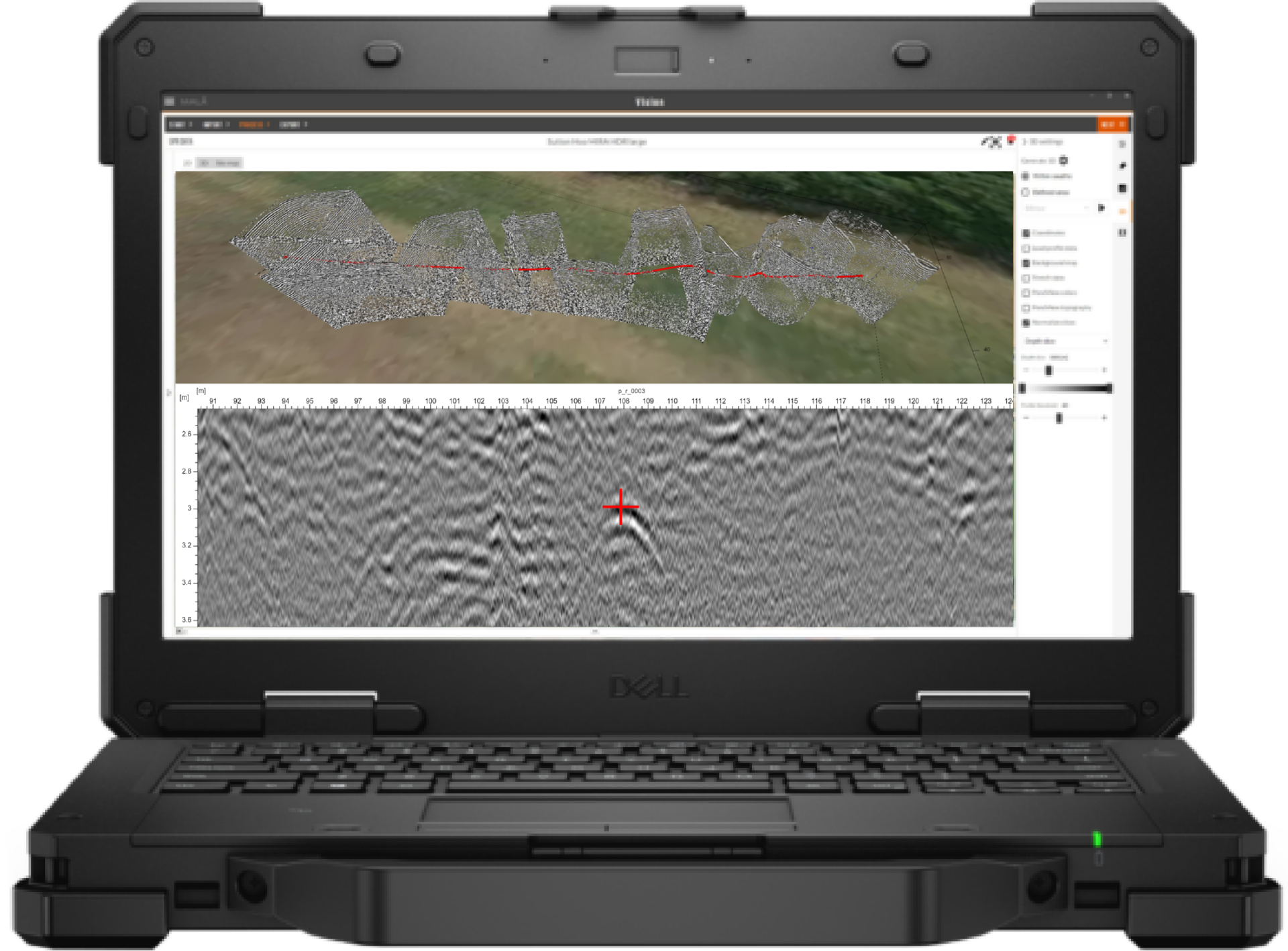
GPR data from the MALÅ GeoDrone antennas can be efficiently managed using the MALÅ Vision platform, which includes the cloud-based solution, MALÅ Vision Web, and the offline option, MALÅ Vision Desktop.
MALÅ Vision is an easy-to-use GPR processing software designed for visualization, handling, and reporting of any type of GPR data. Its intuitive and efficient workflow helps users achieve results fast.
Liability information
The purchaser must investigate and adhere to the current laws, regulations (e.g. ETSI, FCC) and any required permissions related to the use of airborne GPR in the relevant location of use. Guideline Geo accepts no responsibility nor liability in regards to the above.

