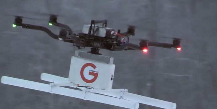
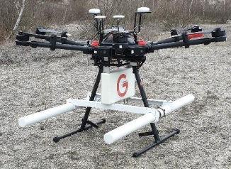
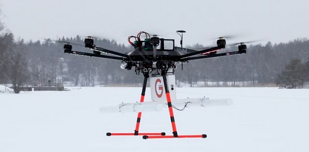
MALÅ GeoDrone 80
MALÅ GeoDrone 80 is the cutting-edge solution for unmanned surveying in areas that are dangerous or are hard to reach. It’s based on the latest GPR HDR technology by Guideline Geo.
It’s an airborne GPR solution for efficient field work, designed specifically for data collection in remote, hazardous and in-accessible areas. MALÅ GeoDrone 80 makes it possible to effectively collect GPR data in a variety of difficult environments, such as snow-covered ground, rocky and uneven terrain, across rivers and in avalanche-prone areas.
The MALÅ GeoDrone 80 is a great solution for many types of airborne GPR surveys. It’s primarily suitable for:
- Larger (>1 m) buried targets at less than 10 m depth
- Layer detection below 2 meters depth
- Bathymetry profiling (e.g. river bottom profiling)
- Depth to Bedrock
- Detection of larger sinkholes
- Detection of larger cavities (e.g. cavities in limestone areas)
- Shallow sedimentary structures
- Arctic Ice profiling (or other deeper ice/snow measurements)
FEATURES
- Using our unique MALÅ HDR GPR technology
- Support all standard drones with adequate lift power (>3,5 kg)
- Optimized for specific critical application areas
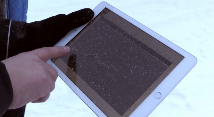
- Wireless real-time monitoring compatible with other MALÅ GX solutions
- Suitable for automated drone surveying
TECHNICAL SPECIFICATIONS
- Core Technology: MALÅ HDR GPR
- Dimension excl. drone:
W580 x L1040 x H240 mm
(W23” x L41” x H9½”) - Antenna separation: 530 mm (21”)
- Antenna weight incl. 2 batteries: 3.23 kg (7 lb 2 oz)
- Antenna weight excl. 2 batteries: 2.31 kg (5 lb 1 oz)
- Battery weight: 0.46 kg (1 lb)
- Operating time: Up to 1 hour
- Antenna Frequencies: 80 MHz
- Communication: Complies with IEEE802.11 b/g/n
- Built-in positioning: DGPS (SBAS)