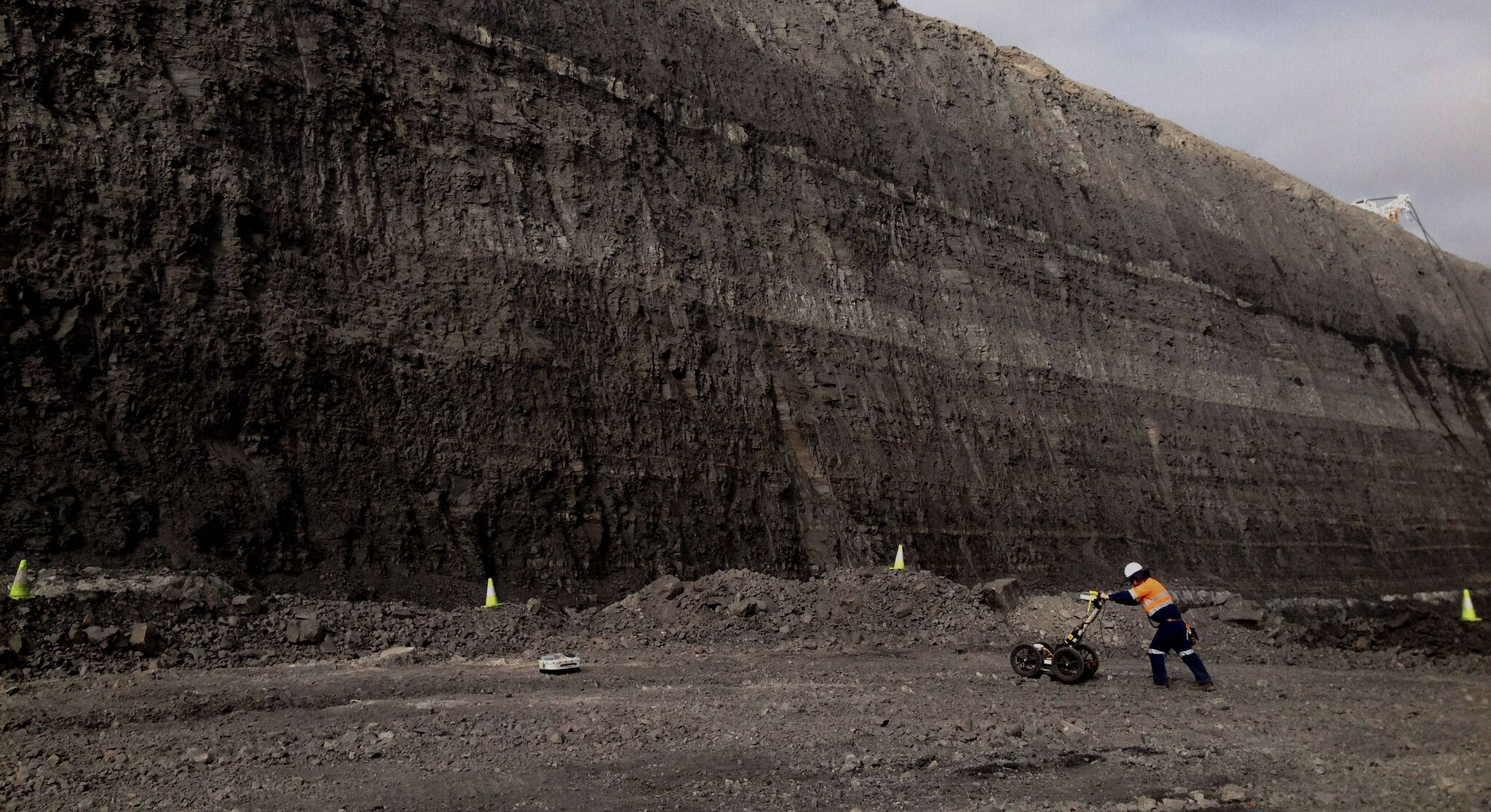
Exploration & Mining
Compared to other geophysical methods nothing comes close in terms of the amount of ground coverage that is obtained with GPR.
Several kilometers of terrain may be surveyed and with integrated GPS geological mapping and prospecting in remote regions is easily accomplished. Antennas ranging from low frequency MALÅ RTA antennas up to the higher frequency MALÅ shielded antennas are all applicable depending on the degree of resolution and the depth of penetration desired.
- Depth to bedrock
- Sand and gravel mapping
- Placer mapping
- Groundwater exploration
- Stratigraphic mapping
- Mine Safety
- Hazardous fracture zone detection

MALÅ Geoscience offer suitable solutions for geological or mining applications in the MALÅ ProEx system configurations. The flexibility in the MALÅ GPR System allows antennas to be pulled by hand or towed in various configurations behind ATV’s, vehicles, snowmobiles, or whatever other means is necessary to traverse the desired terrain. GPR is frequently used to obtain the following geological information:
- Deep bedrock profiling
- Groundwater resources
- River & lake bottom profiling
- Fractures characterisation
- Sedimentological studies
- Soil & aggregate mapping
- Bathymetry studies
- Polar research
- Karst mapping
CONTACT US:
Telephone:
0800 47 77 65
Sales, Support and Rental Systems: sales@gprsolutions.co.nz
GPR Consulting Services: consulting@gprsolutions.co.nz
GPR Solutions Ltd – specialising in world leading MALA Ground Penetrating Radar systems for:
Rental / hire of GPR instruments, outright purchase, staff training, instrument servicing and support.
POSTAL ADDRESS:
12 Will Street
Rolleston
Canterbury 7614
New Zealand
GPR Solutions Limited | Company No: 5914576 | NZBN: 9429042238324

